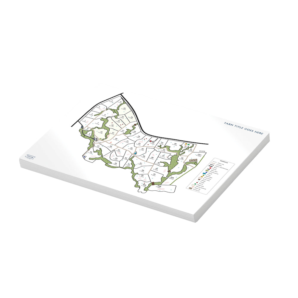
VizLink Visual Communication
  • FARM MAPPING
    • LINZ Aerial Imagery
    • Already have a farm map done? Need edits made?
    • How our maps are used:
      • Health & Safety
      • HR
      • Environmental Planning
      • Animal Health
      • Biosecurity
  • WHITEBOARDS
    • DRYSTOCK
    • DAIRY
    • EQUINE
    • COMMERCIAL
    • HORTICULTURE
    • BLANK WHITEBOARDS
      • Glass Whiteboards
      • Porcelain Whiteboards
    • Designer Whiteboards - Coming soon...
  • OTHER PRODUCTS
    • JUNE TO JUNE YEARLY PLANNERS
    • STOCK REC PLANNER
    • PADS OF MAPS
    • PVC ROLLOUTS
    • LAMINATED POSTERS
    • LOGO DESIGN
  • About Us
    • OUR MATES
      • Who we work with
      • Our Products in Action
      • Testimonials
    • Media
    • Blog
  • CONTACT
  • Shapefiles
  • 0
VizLink Visual Communication
Search 0 Cart
Farm Mapping

Farm Mapping


Thinking about getting a map created for your farm? 
Here is what you need to know:

Map your farm using on-site aerial technology
Farm maps are essential for farm management and are ideal if you need high accuracy for product placement of fertiliser and precise details of where troughs and fence lines are. Having aerial images and accurate data can also be useful down the track if you decide to sell your farm.


How it works:
Our consultant will come to you and will capture high-resolution images of your farm using either a drone or an aeroplane depending on the size and location of your farm.

These images are then downloaded and stitched together by third-party software to produce an orthorectified image. The result is an accurate, detailed map of your farm.


You will get:

  • Outlines of your paddocks
  • Sizes of your paddocks in hectares
  • Accurate placement of water troughs, fence lines, and boundary lines
  • Accurate placement of waterways
  • A beautiful aerial birds-eye view image and a few landscape shots of your farm

The data is accurate to within 0.5m and height data is accurate to within 1m. 


The benefits of having accurate paddock sizes:

  • Work out how much feed you are offering your animals. 
  • Know how much fertiliser needs to be applied.
  • Know the exact hectares of your farm, not an estimate.

 Take your map even further with slope maps (which highlights areas above specific slopes) and contour maps.

Save when your neighbour gets their farm mapped at the same time
Know anyone else in your area who might want their farm mapped? We can offer a discounted rate to you and any other farm owners in the area that sign up to get their farms mapped at the same time. 

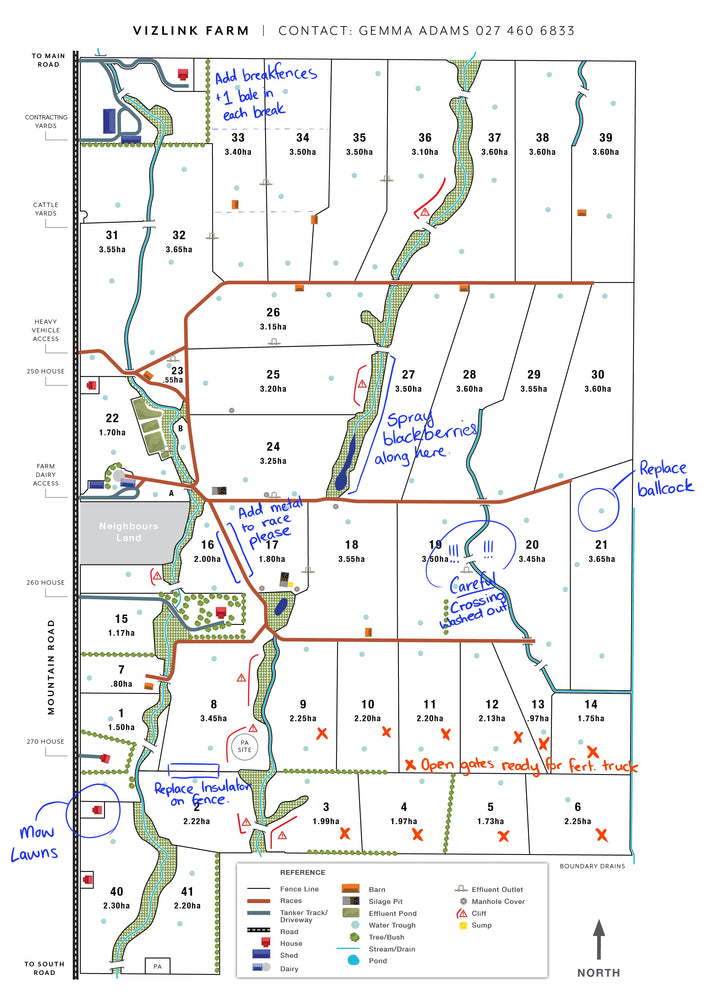
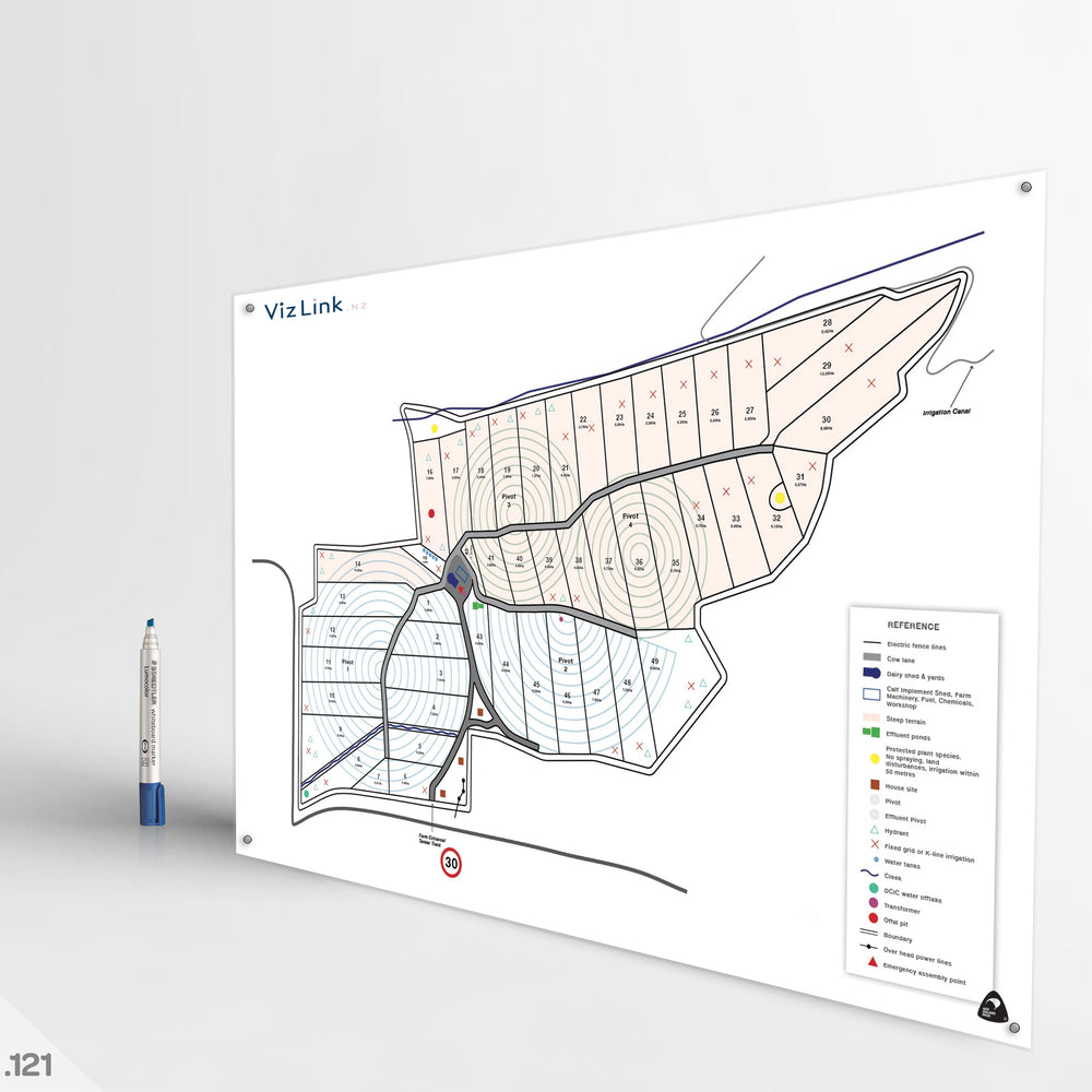
Map your farm using LINZ Aerial Imagery (Orthorectified Imagery)

LINZ aerial imagery (orthorectified imagery) produces low-resolution images of your farm from the LINZ Data Service, which is an open-source authoritative national record of the country’s physical features. It is a cost-effective method, providing a low level of detail to produce a simple, quality farm map. The map shows the boundary and paddocks of your farm and is an ideal option if you want a farm map to support communication on your farm for a lower cost than using on-site aerial technology.

You will get:

  • Outlines of your paddocks
  • Size of your paddocks in hectares

Photos of the land are not included, but we can purchase a high-resolution image if required. If you have recently developed your farm, we will check how current the images are.

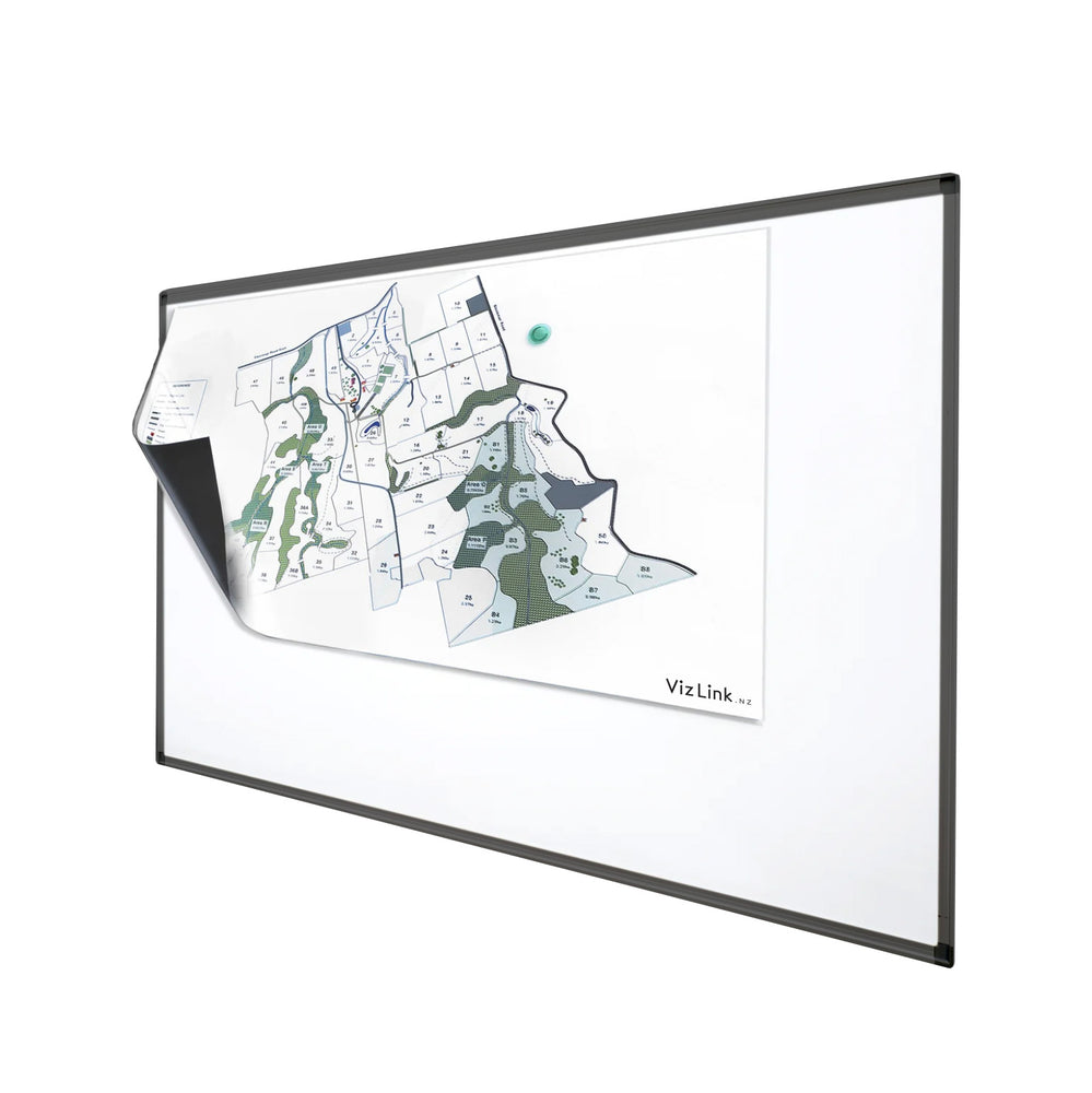
Already have a farm map but need some edits made?

Send it through and our team can redraw it for you! We can then take your map to the next level with our graphic design skills and can set you up with VizLink products.

Clear all
tag"
Quick view
Vizlink Pads of Maps - an add on to your whiteboard
Quote Required
( / )
Quick view
Custom Dairy Farm & Grid Vizlink Whiteboard #1
Quote Required
( / )
Quick view
Magnetic Sheet #23
Quote Required
( / )
Quick view
Custom Dairy Farm VizLink Whiteboards #12
Quote Required
( / )
Quick view
Custom Biosecurity Farm Map Whiteboard #119
Quote Required
( / )
Quick view
Drystock Farm Map Vizlink Whiteboard #79
Quote Required
( / )
Quick view
Custom Dairy Farm Vizlink Whiteboard #37
Quote Required
( / )
Quick view
Custom Dairy Farm & Grid Vizlink Whiteboard #38
Quote Required
( / )
Load more
  • «
  • 1
  • 2
  • 3
  • …
  • 7

Receive our Newsletter

Promotions, New products and more..

Contact
For a FREE quick quote please fill out our form under 'Contact' or call us on 0274 606 833. Alternatively you can email us at info@vizlink.nz.
Links
  • Contact Us
  • Testimonials
  • Our Team
  • Terms & Conditions
  • Privacy Policy
  • Terms of Service
  • Refund Policy
    Apple Pay Mastercard PayPal Visa
  • © 2023, VizLink Visual Communication